Saturday July 13 Barry and Kevin Fly to Moab, Utah:
Barry flew from Atlanta to Denver and Kevin flew from Chicago to Denver where they were going to meet up and fly on in to Moab, Utah together. Barry's Delta flight got off ok and he arrived in the Denver airport pretty much on time. Unfortunately there was an equipment problem with Kevin's United flight and he didn't arrive in Denver until after their connection to Moab had departed.
Barry went ahead and took the Denver to Moab flight and arrived Saturday evening, got the rental car and checked into their hotel. Kevin spent the night at a Denver area hotel.
|
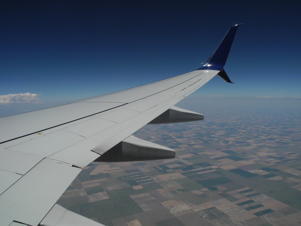
A view of the ground from Barry's airplane
*-*-*
Sunday July 14 La Sal Scenic Route and Dead Horse Point, UT:
Kevin arrived on the first flight out of Denver and Barry picked him up at the airport. They decided to jump right into actitives and took a drive on the La Sal Scenic Route, a 60 mile long loop through the mountains to the east of Moab.
|
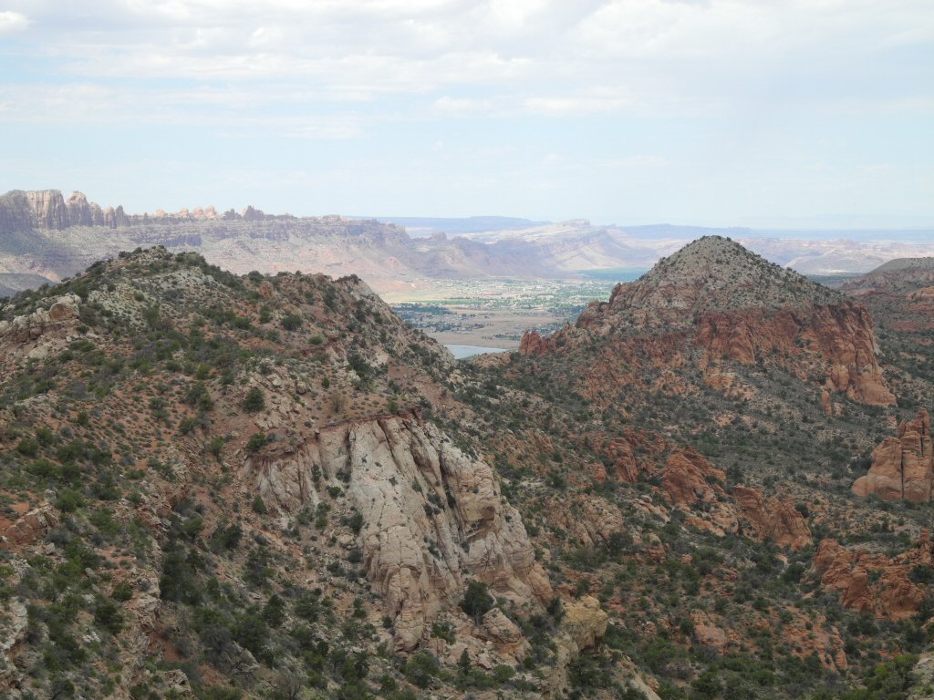
Views along the La Sal Scenic Route
*-*-*
|
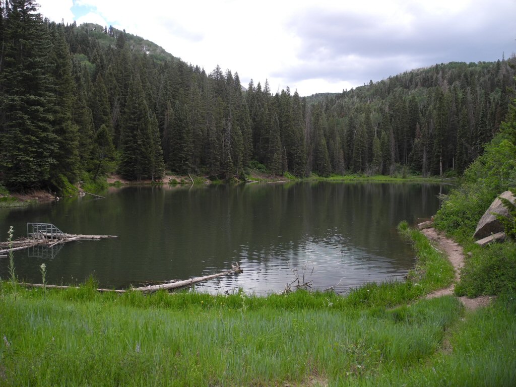
A view across Oowah Lake
*-*-*
|
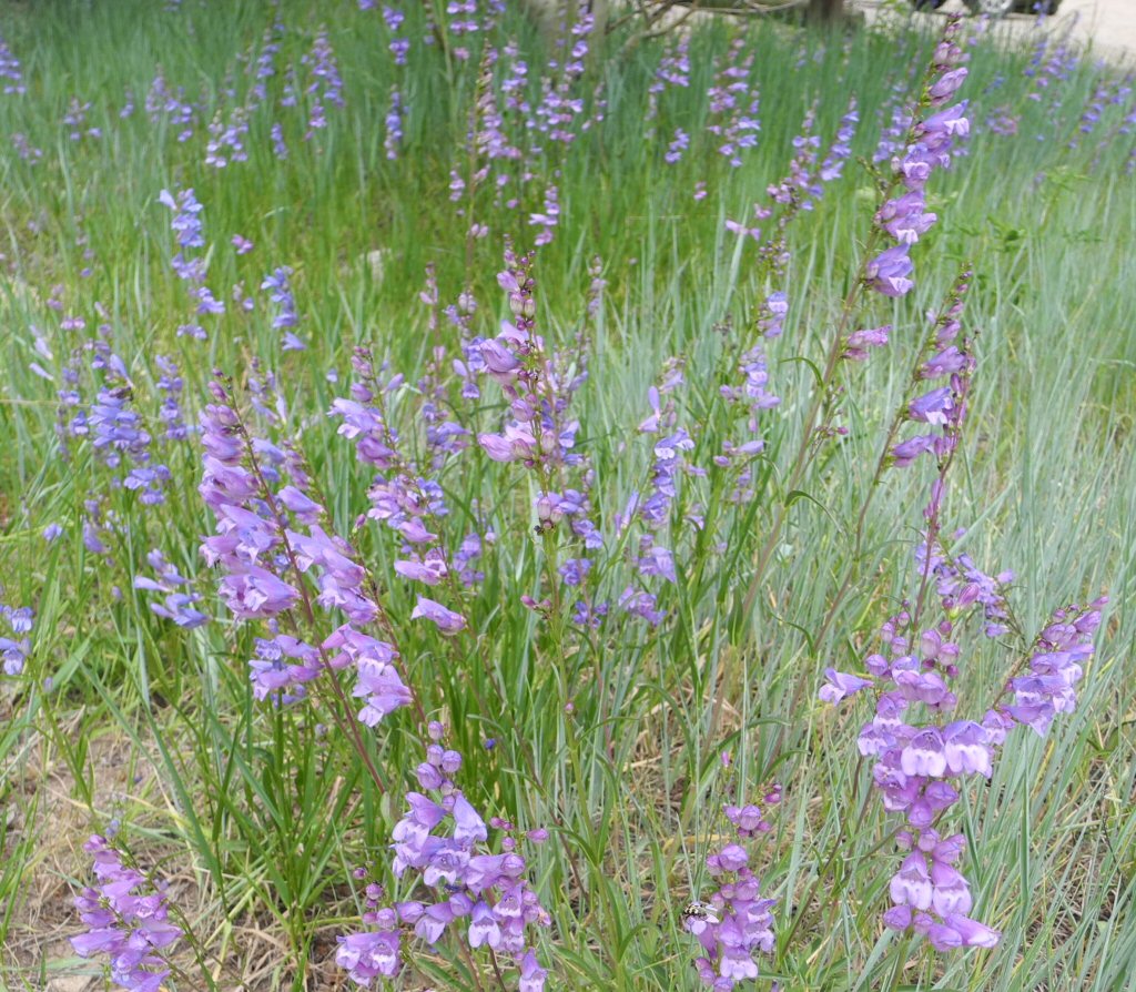
Some pretty wildflowers near Lake Oowah
*-*-*
|
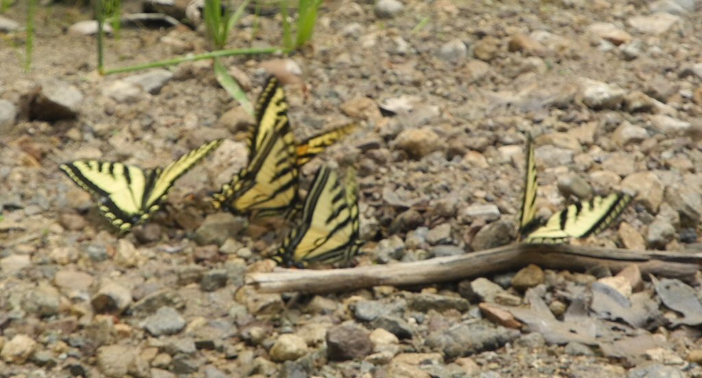
These pretty yellow butterflies were all over the area
*-*-*
|
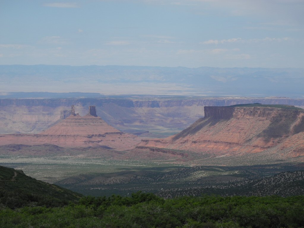
Castle Valley Overlook
*-*-*
|
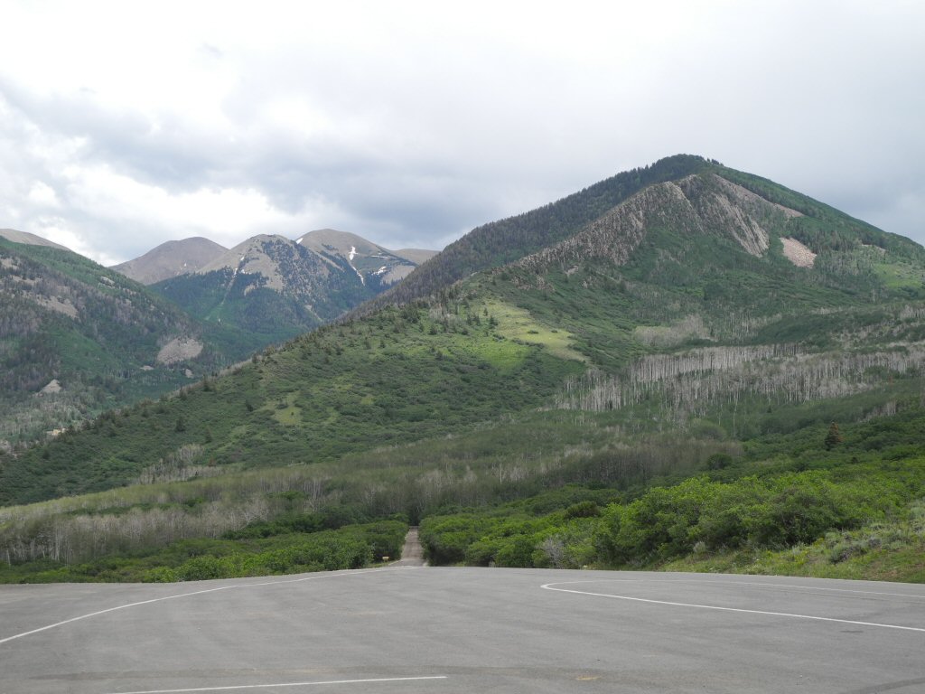
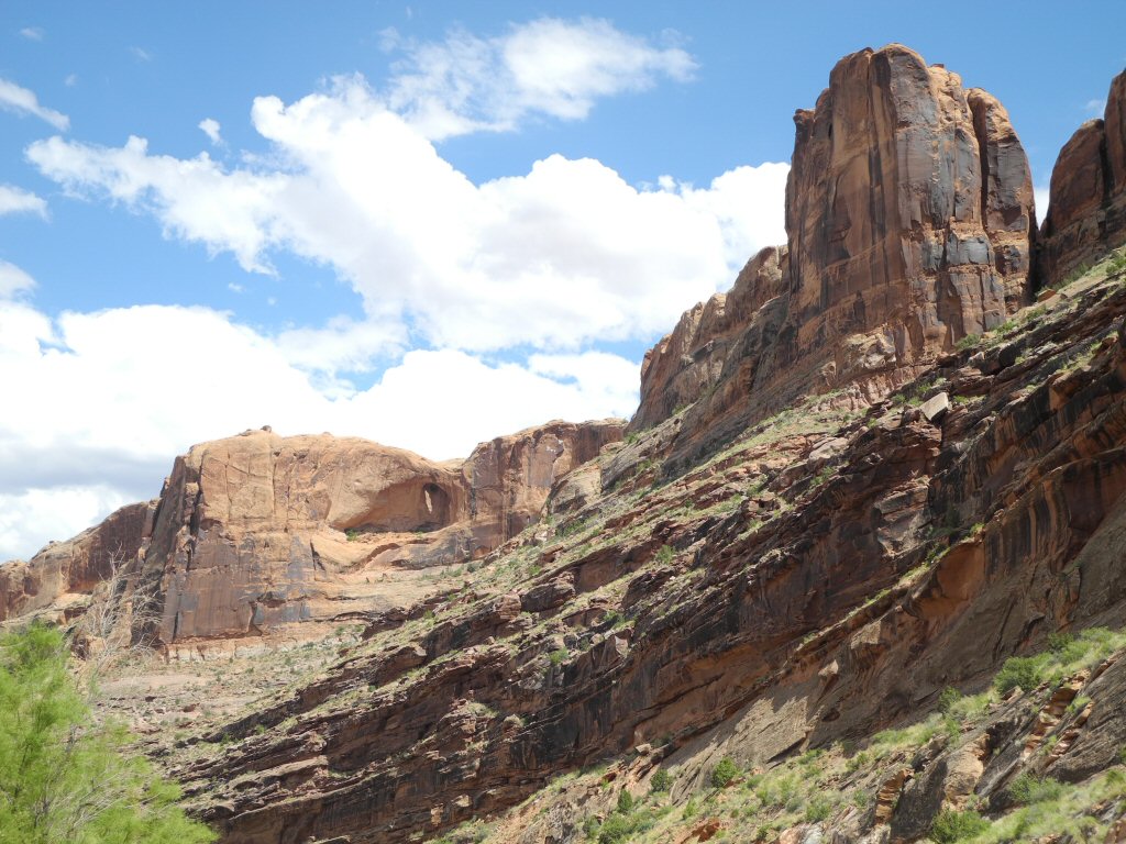
Along the La Sal Loop
*-*-*
|
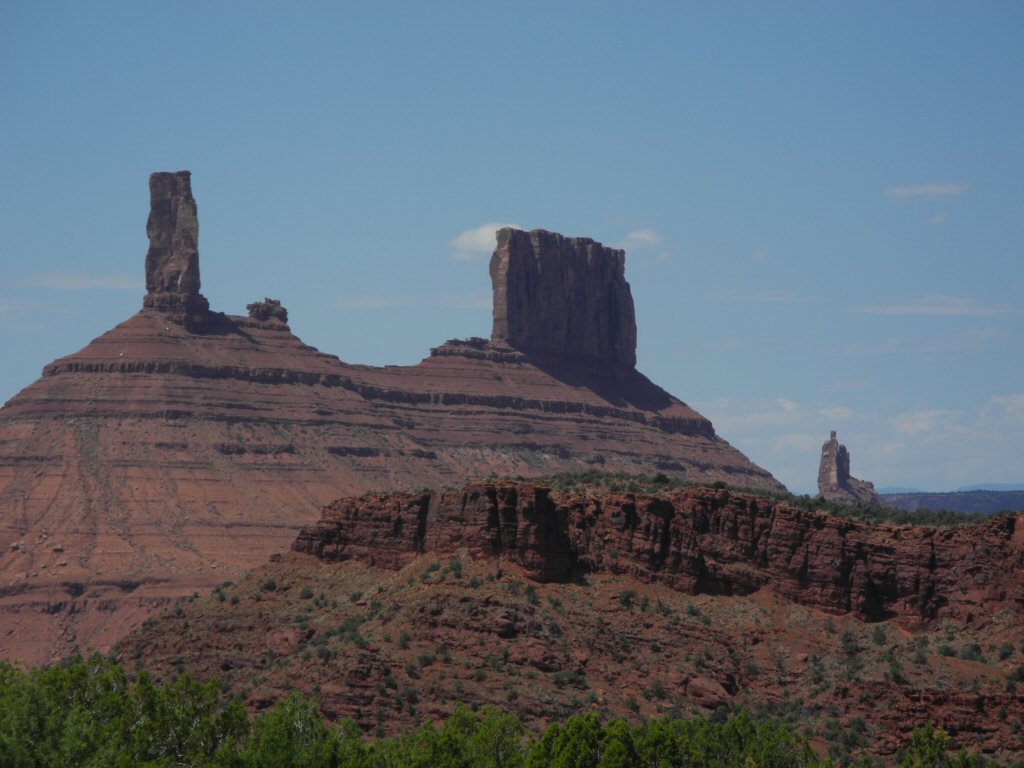
These rock outcroppings look like imposing castle spires giving the valley its name.
*-*-*
|
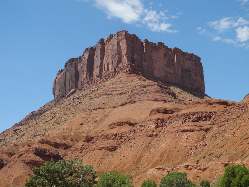
The Red Cliffs - sitting high on the hill looking like an impenetrable fortress.
*-*-*
|
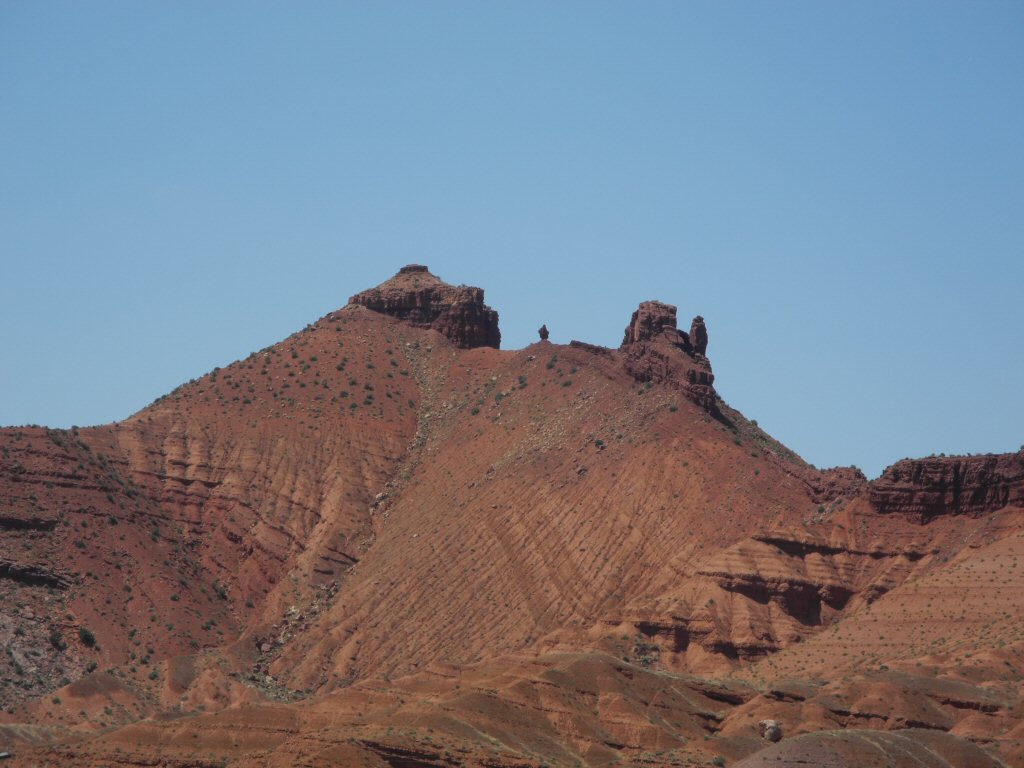
Driving the La Sal Loop...every where you look is another unusual formation.
*-*-*
|
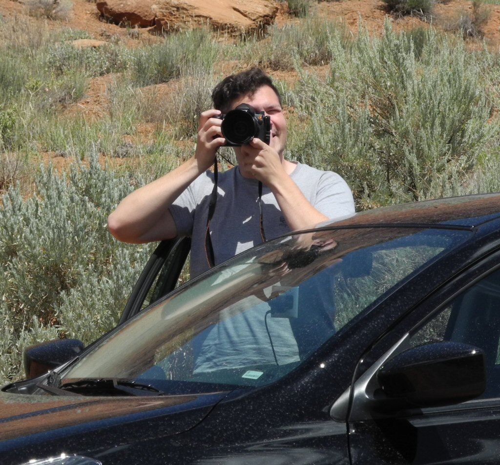
Kevin taking a photo of the scenery
*-*-*
|
Along the La Sal Loop
*-*-*
|
This imposing rock formation had an opening where you could see the sunlight passing through creating an optical illusion of a cave.
*-*-*
Barry and Kevin finished the La Sal Scenic Loop around 5 in the afternoon and headed into Moab to eat dinner and relax before heading to Dead Horse Point State Park later in the evening.
|
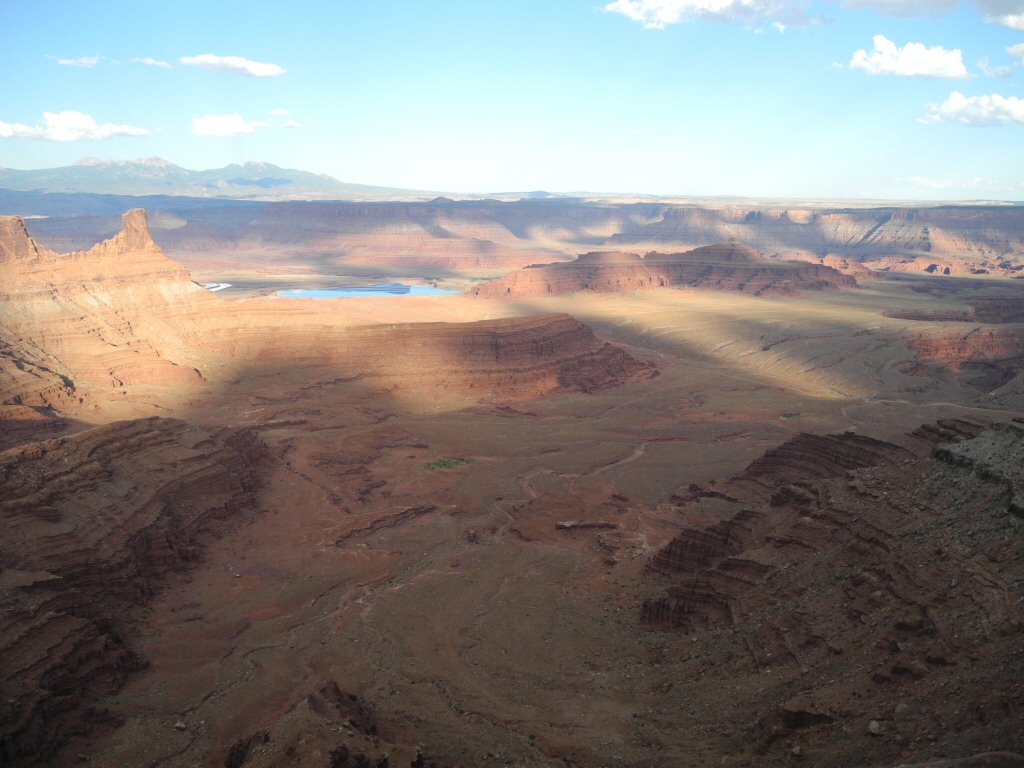
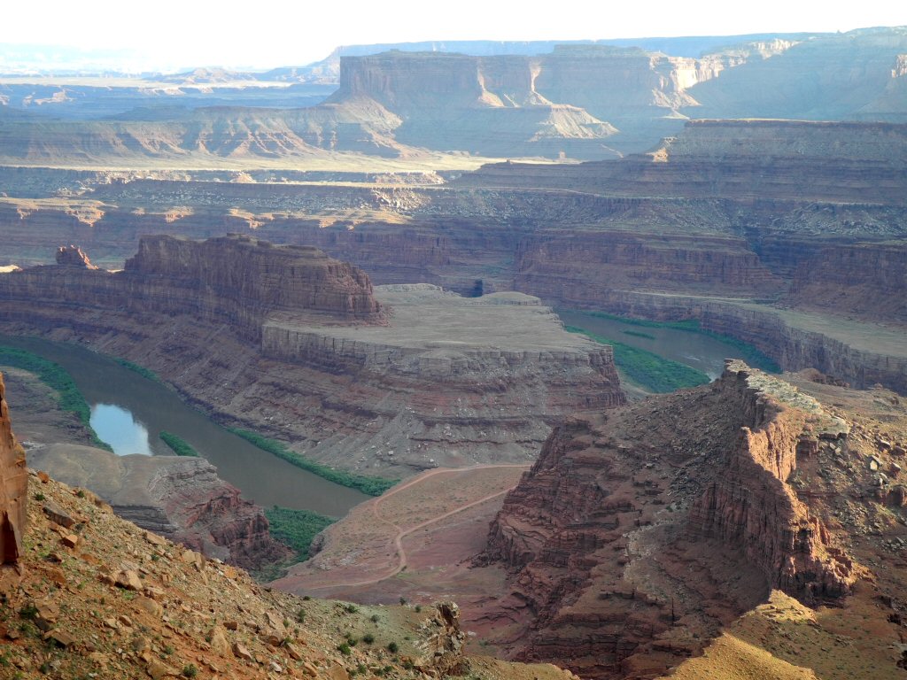
Dead Horse Point State Park. The blue water is a pool from the potash factory at the bottom of the canyon. The area got its name from the natural corral the slot canyon formed and early cowboys would trap horses here. They would select the ones they wanted and, unfortunately, leave the remainder to die.
*-*-*
|
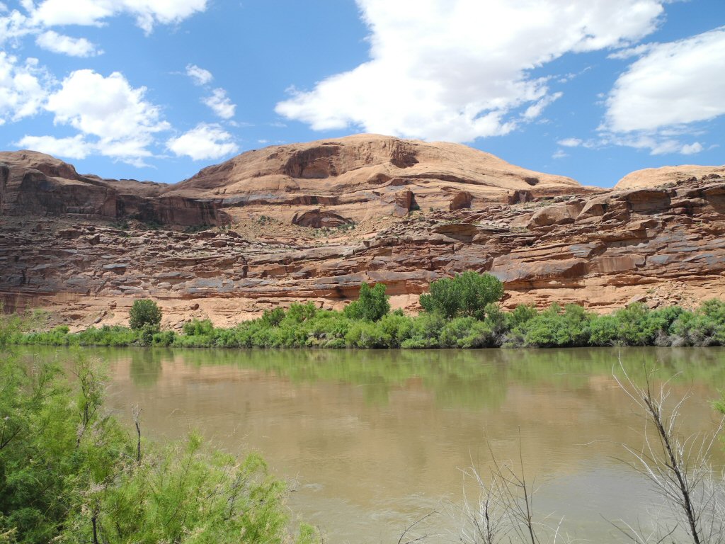
Valley around Dead Horse Canyon with a view of the Colorado River
*-*-*
|
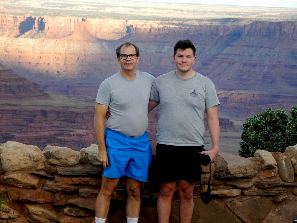
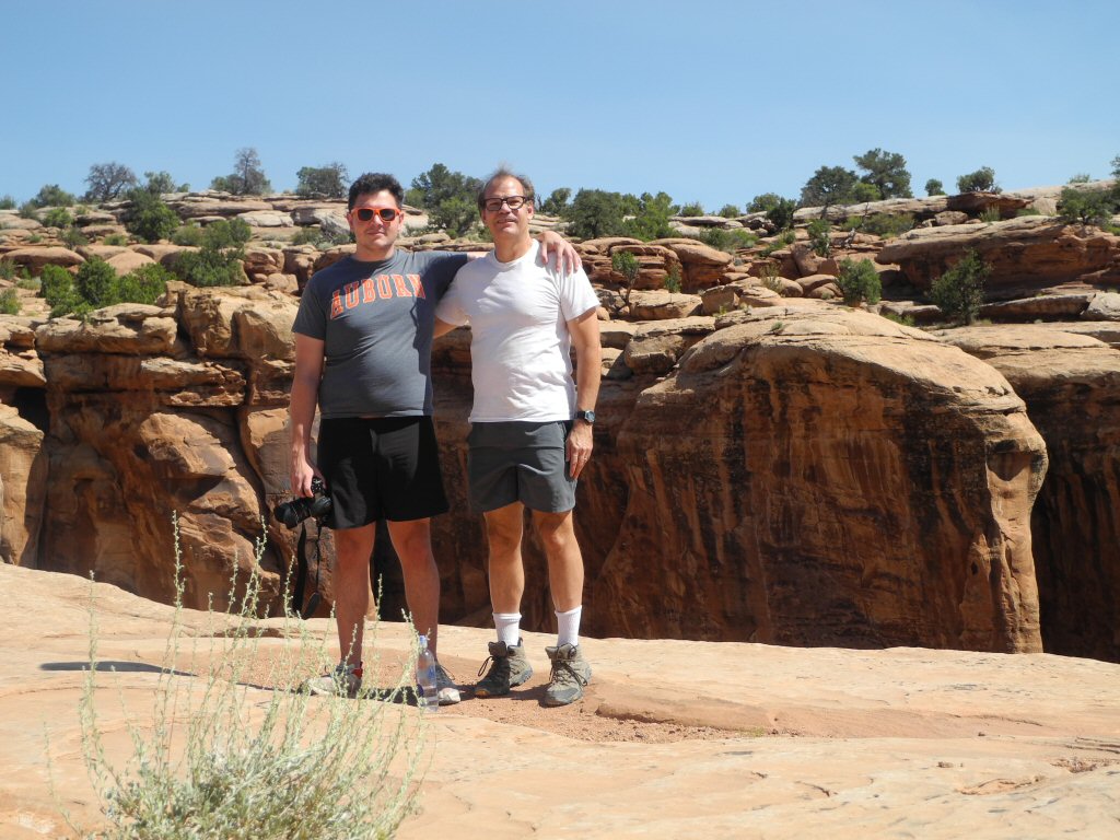
Barry and Kevin with Dead Horse Point State Park in the background.
*-*-*
|
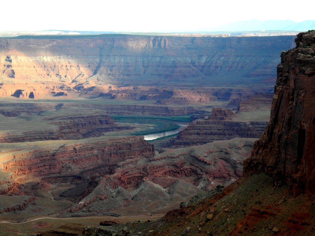
The gooseneck of the Colorado River in Dead Horse Point State Park.
*-*-*
|
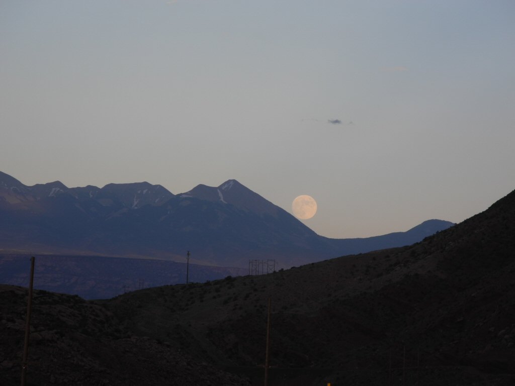
Moonrise over the mountains on the drive back to Moab after a fun day of exploring.
*-*-*
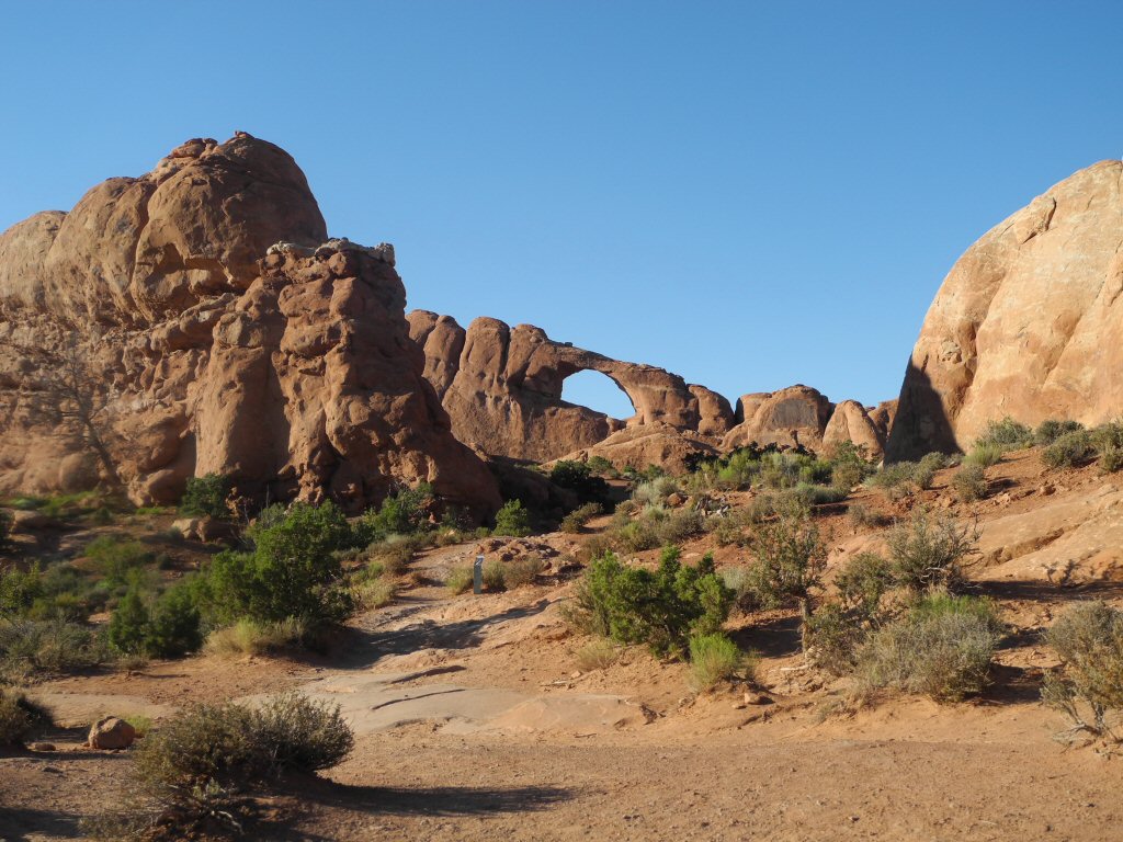
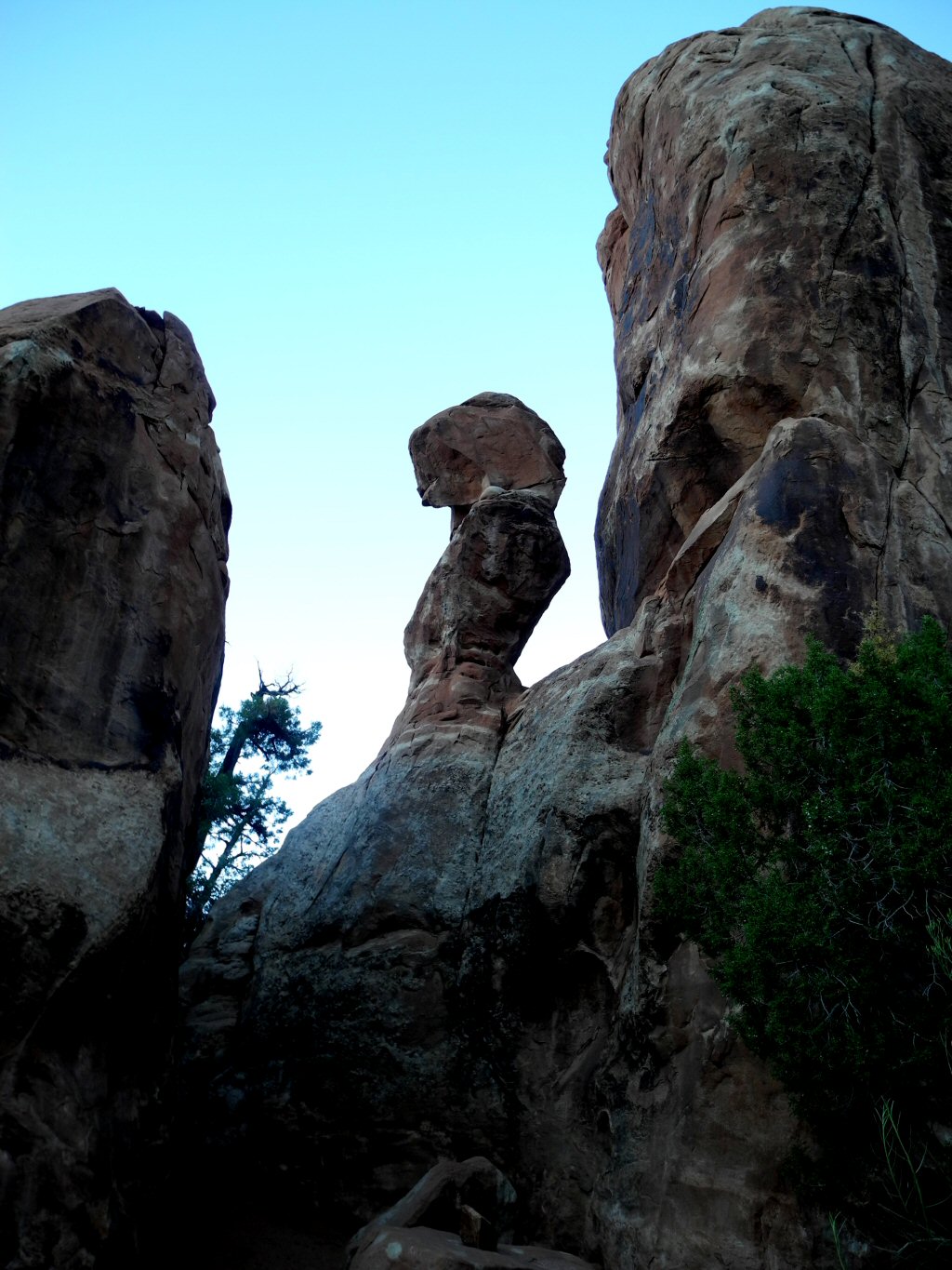
Tuesday July 16 Arches National Park Utah:
The whole day was spent in Arches National Park, with a rest in the hot part of the day. Arches is one of the iconic parks for this area with an amazing array of 2000-plus arches created from rock carved by erosion, water, gravity and time.
|
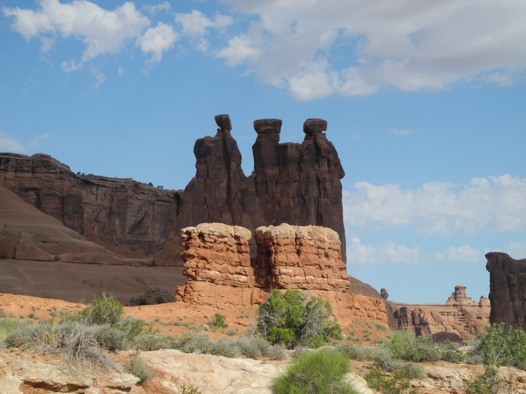
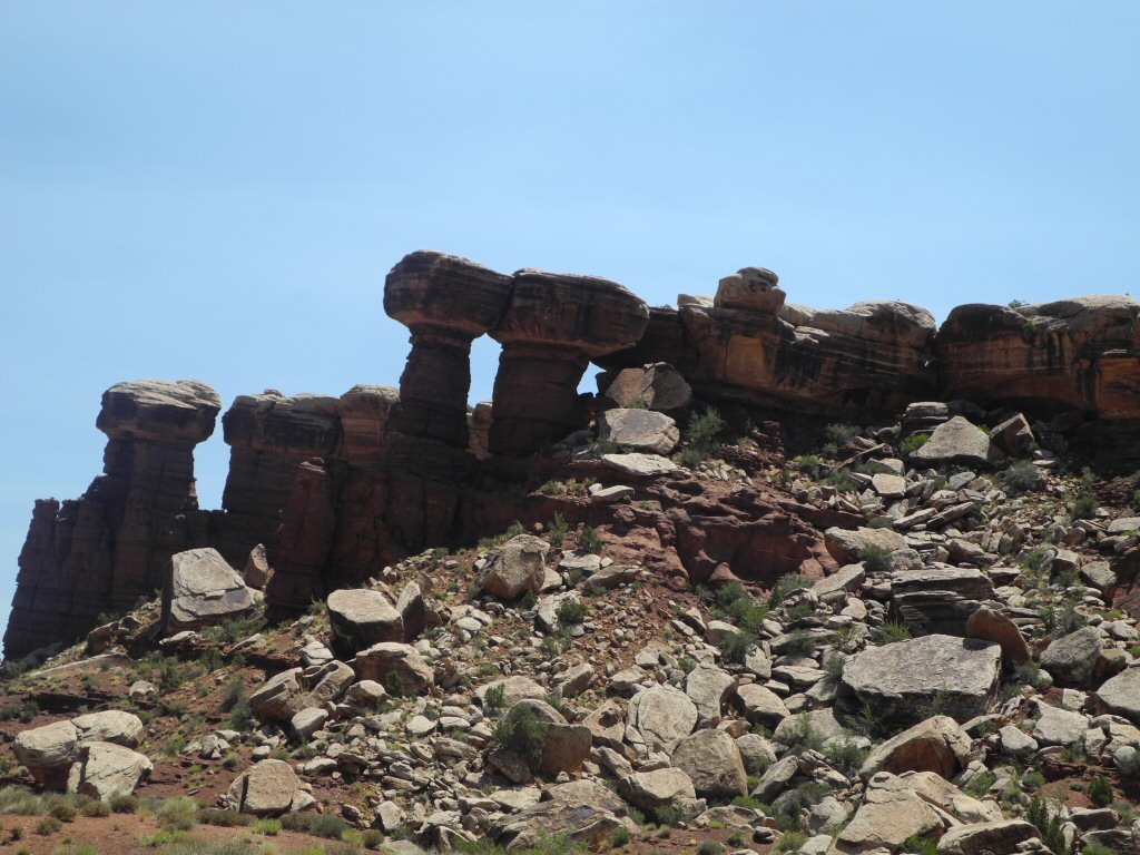
These are not arches but pillars standing tall against the sky. They look like a grouping of wise men discussing a weighty matter.
*-*-*
|
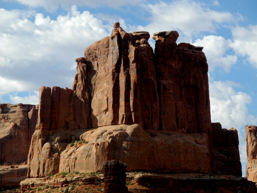
Here is a monolith of rock hundreds of feet tall.
*-*-*
|
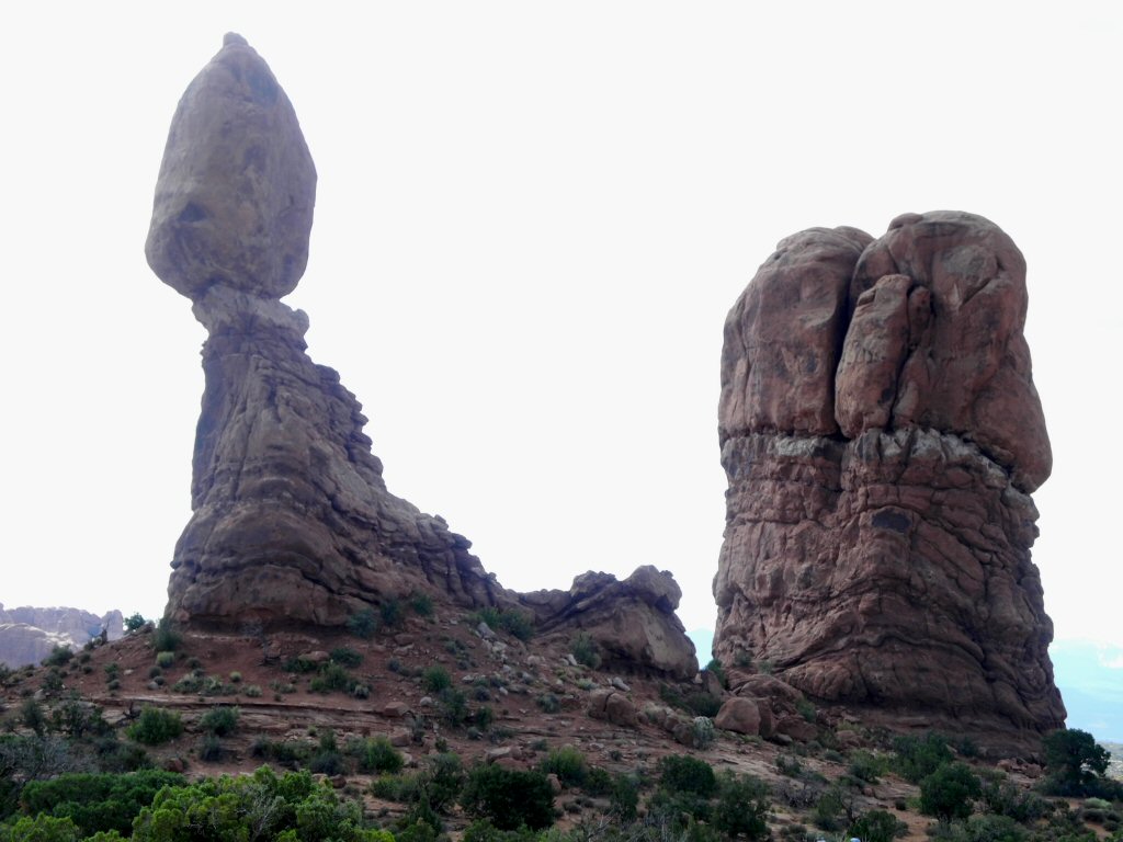
Balanced Rock in the Garden of the Gods- the rock at the top is the size of 3 school buses and sits 55 feet above the base
*-*-*
|
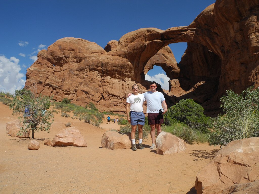
Barry and Kevin standing in front of Double Arch. These are two arches that share a common end. The larger opening has a span of 148 feet and a height of 104 feet. It is a pothole arch forming by water erosion from above rather than erosion from the side.
*-*-*
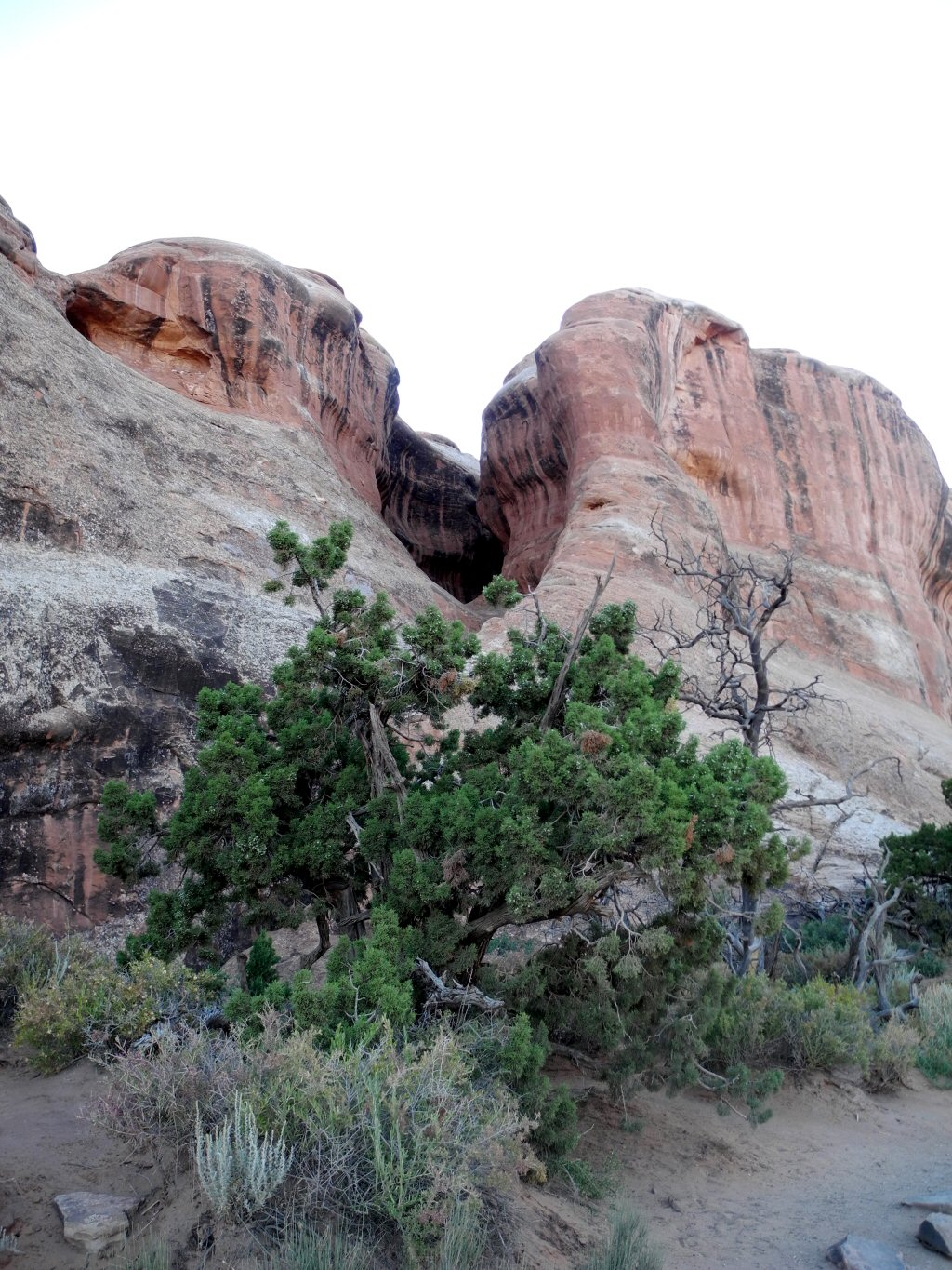
|
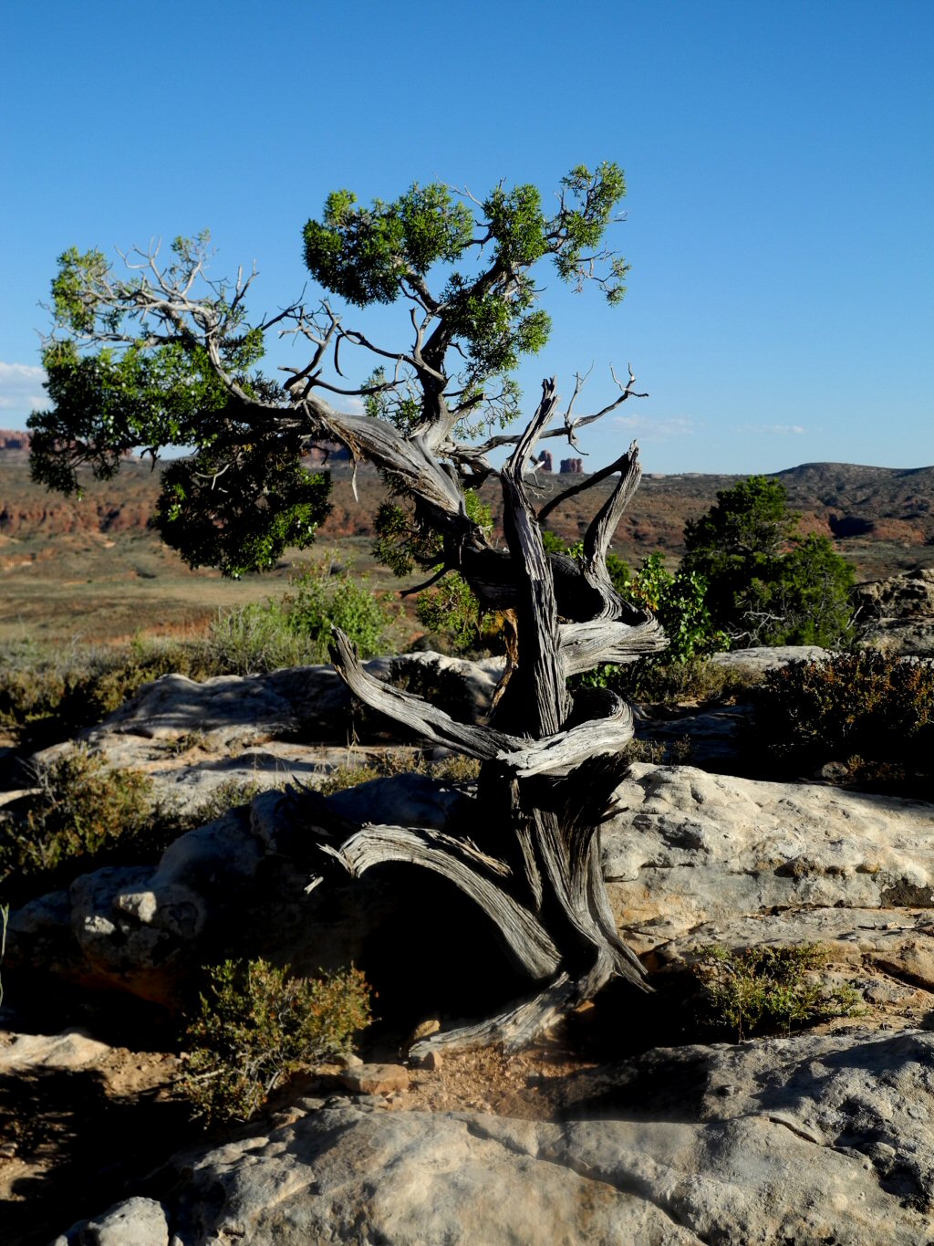
A juniper tree as much scuplted by the wind as any of the arches.
*-*-*
|
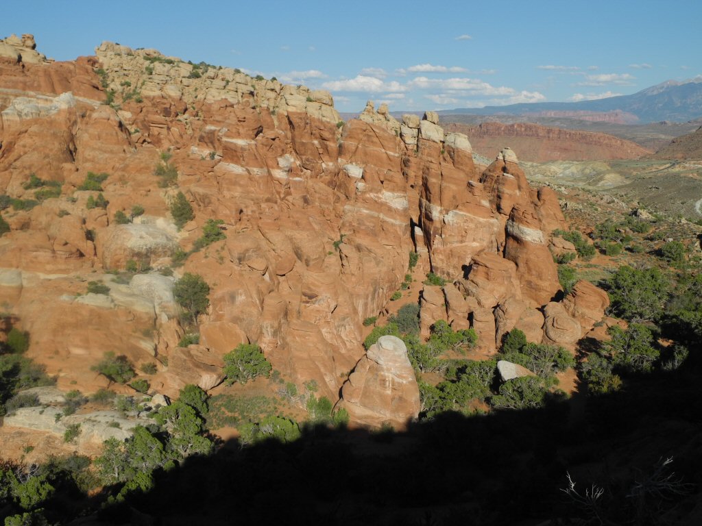
The Fiery Furnace is named for the red glow from sunlight on the rocks in the late afternoon. This area is a maze of shady canyons between the imposing sandstone spires and fins. Rain, snow and ice have deepend and widened the cracks in the rocks to form the fins and spires.
*-*-*
|
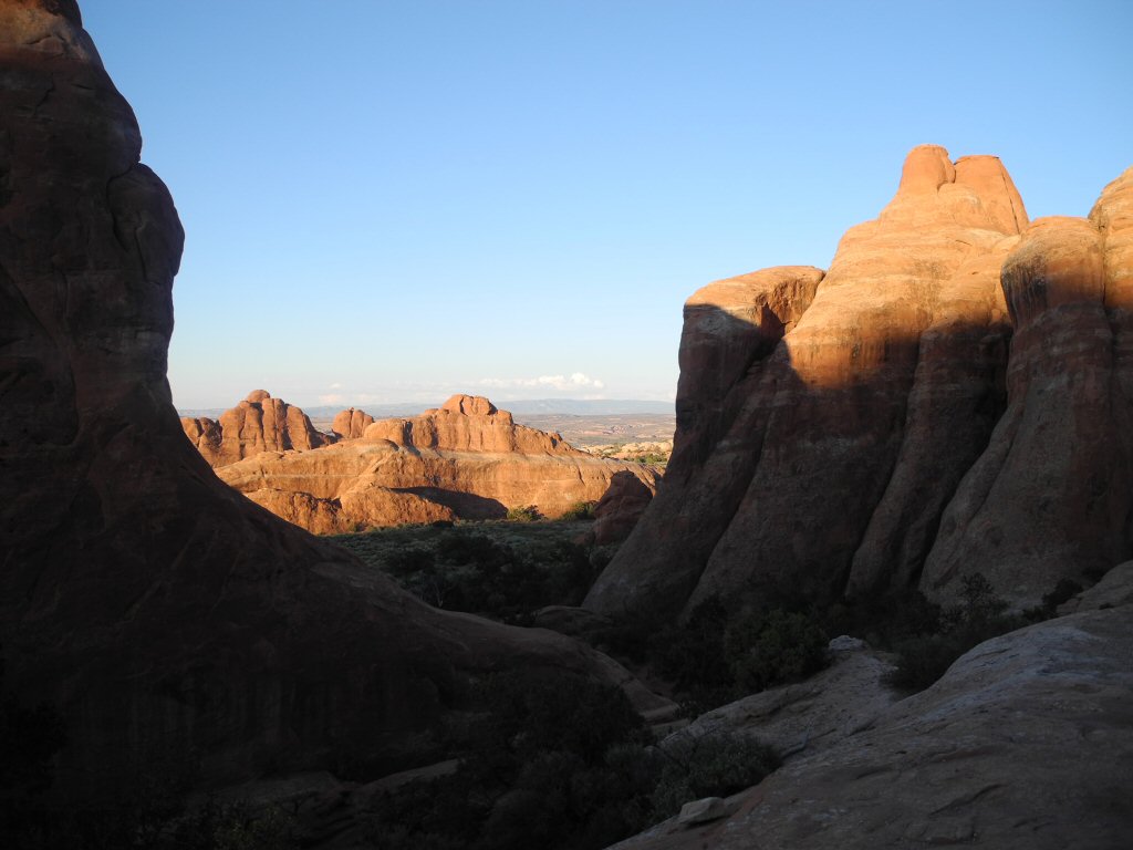
Arches National Park
*-*-*
|
The cleft in the rocks was another interesting formation.
*-*-*
|
The tower in the middle bears a resembelence to the alien in the eponymous movie.
*-*-*
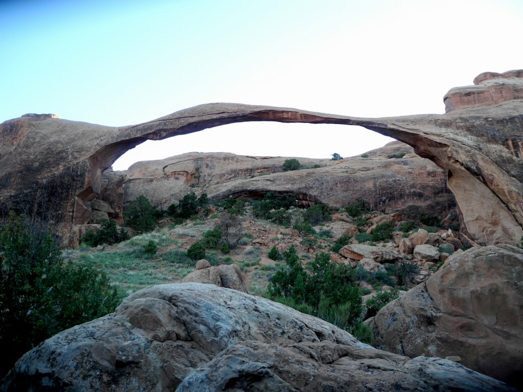
|
Landscape Arch is located in Devil's Garden. It is the longest arch in the park wth a span of 290 feet.
*-*-*
|
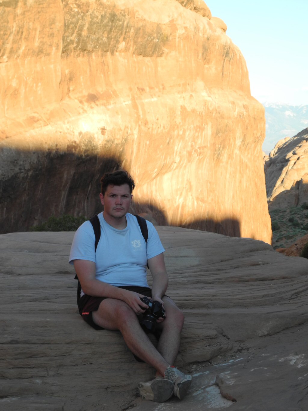
Kevin resting on a rock formation
*-*-*
|
As the day draws to a close here is an interesting play of light and shadow on the canyon.
*-*-*
Wednesday July 17 Jeeping!:
Today Barry and Kevin rented a Jeep and get to go offroading on some of the many trails in the area. They pick up the Jeep at 9 AM and have the whole day to get into trouble! The Jeep trails are through some very scenic and sometimes rugged areas.
|
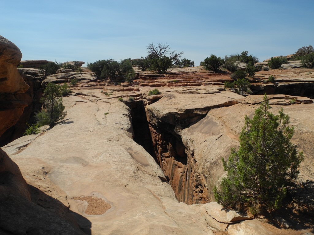
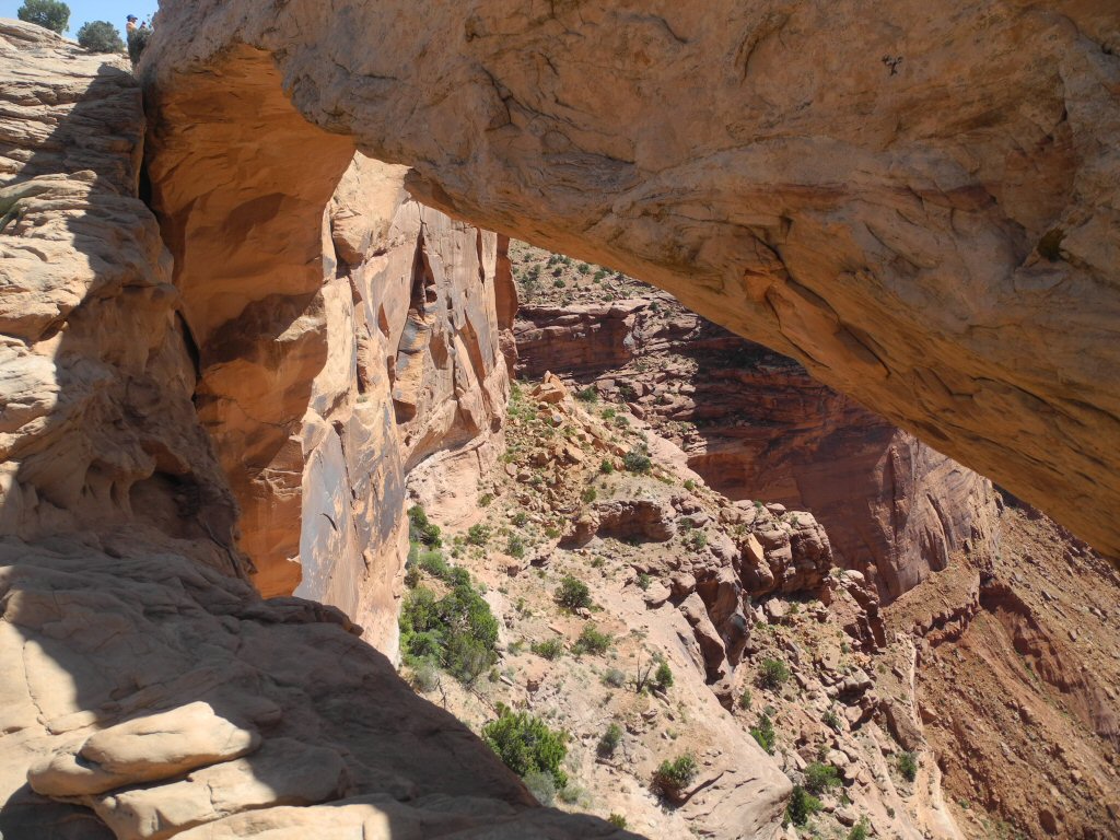
The first trail is the Gemini Bridges Trail which is north of Moab. It is a moderate difficulty trail which goes to the Gemini Bridges. This is a large rock formation made up of two large arches which are side by side and are several hundred feet high. They are separated by a slot in the rock surface. This picture is taken from the top showing the "bridge" surface.
*-*-*
|
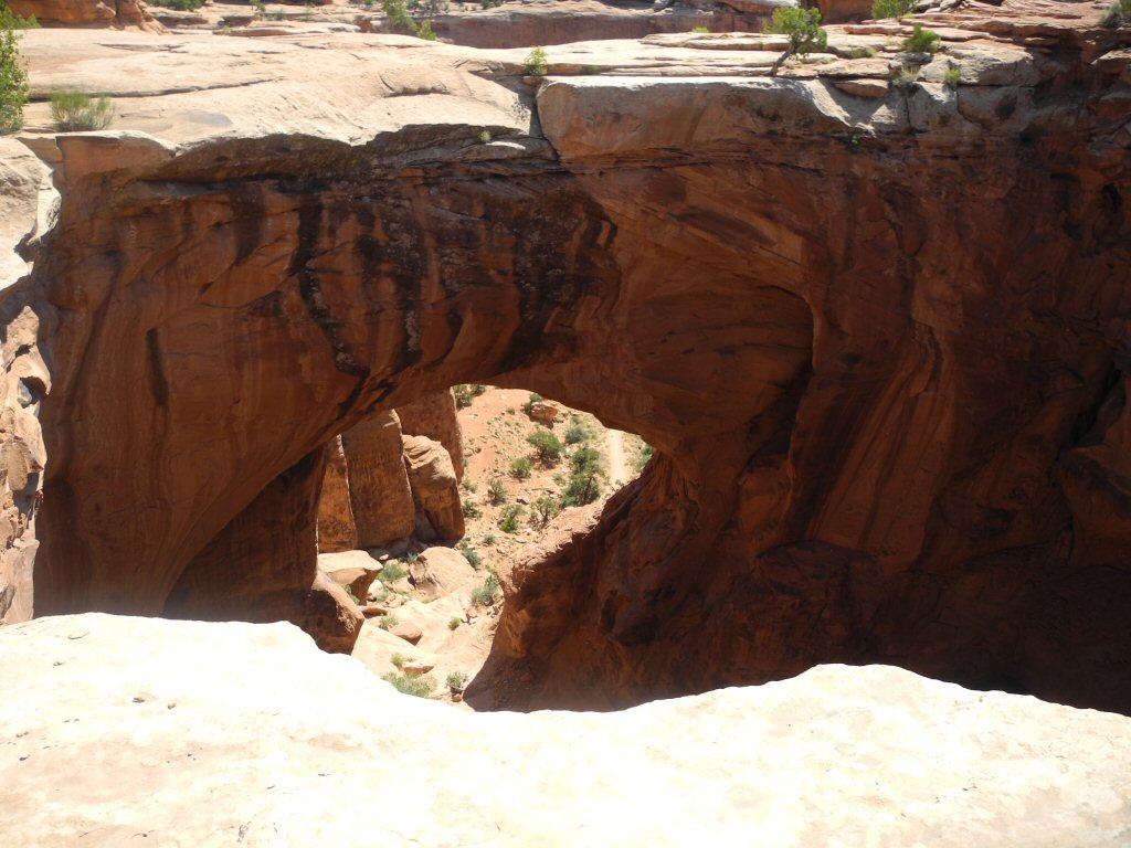
Here is one of the arches of the Gemini Bridge.
*-*-*
|
Here is the other arch of the Gemini Bridge.
*-*-*
|
Kevin and Barry along the Gemini Bridges Trail.
*-*-*
|
This rock formation, along the Gemini Bridges Trail, looks like a giant Great Dane.
*-*-*
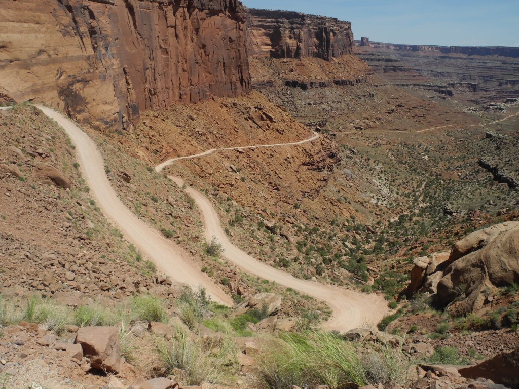
After a break for lunch they headed back out to do the Schafer Trail and the Long Canyon Trail. The Schafer Trail starts just after entering the Island in the Sky Portion of Canyonlands National Park. This is an easy trail which makes a 1500 foot descent on a series of switchbacks which go just over a mile in length.
|
The beginning of the switchbacks to descend on the Schafer Trail.
*-*-*
|
Along the Schafer Trail.
*-*-*
|
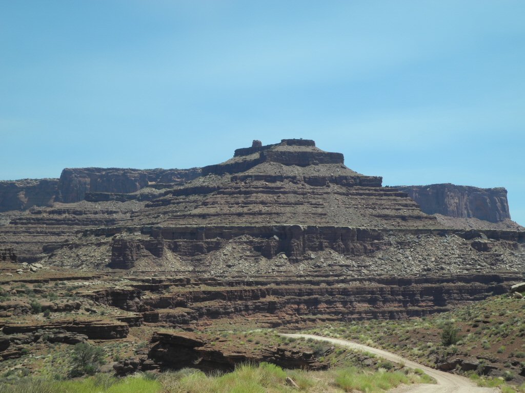
Here is Pyramid Butte along the Schafer Trail.
*-*-*
|
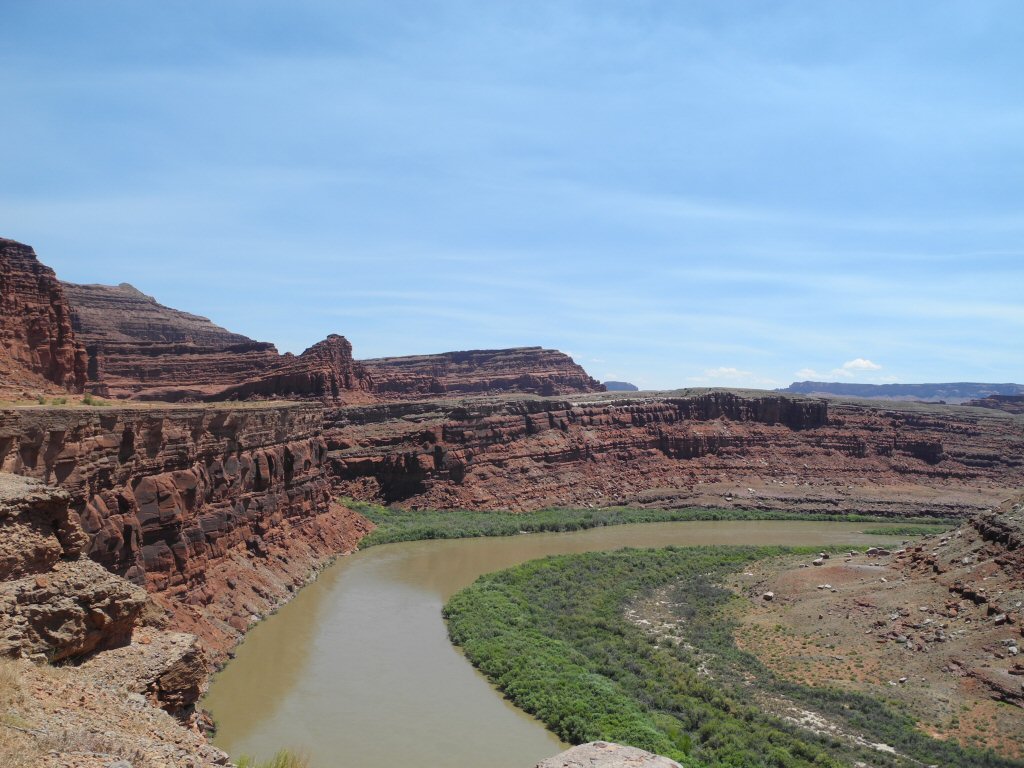
The Schafer Trail overlooks the Colorado River.
*-*-*
|
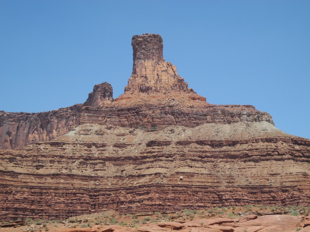
Along the Schafer Trail
*-*-*
|
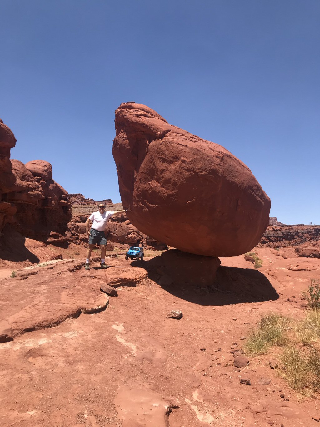
An impossibly balanced rock...along the Schafer Trail.
*-*-*
|
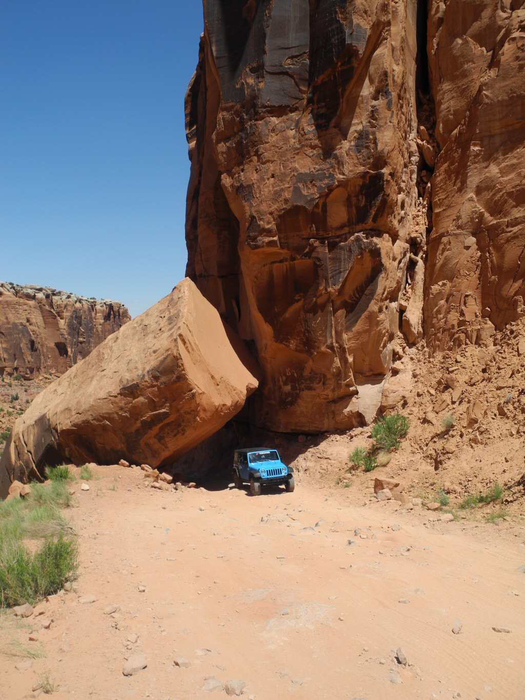
After leaving the Schafer Trail, they truned onto the Long Canyon Trail to return to Moab. It is a moderate trail which has some steep sections. Here is one area where the trail passes between two massive rocks. This is the Jeep Barry and Kevin rented. Kevin has a cameo as the driver.
*-*-*
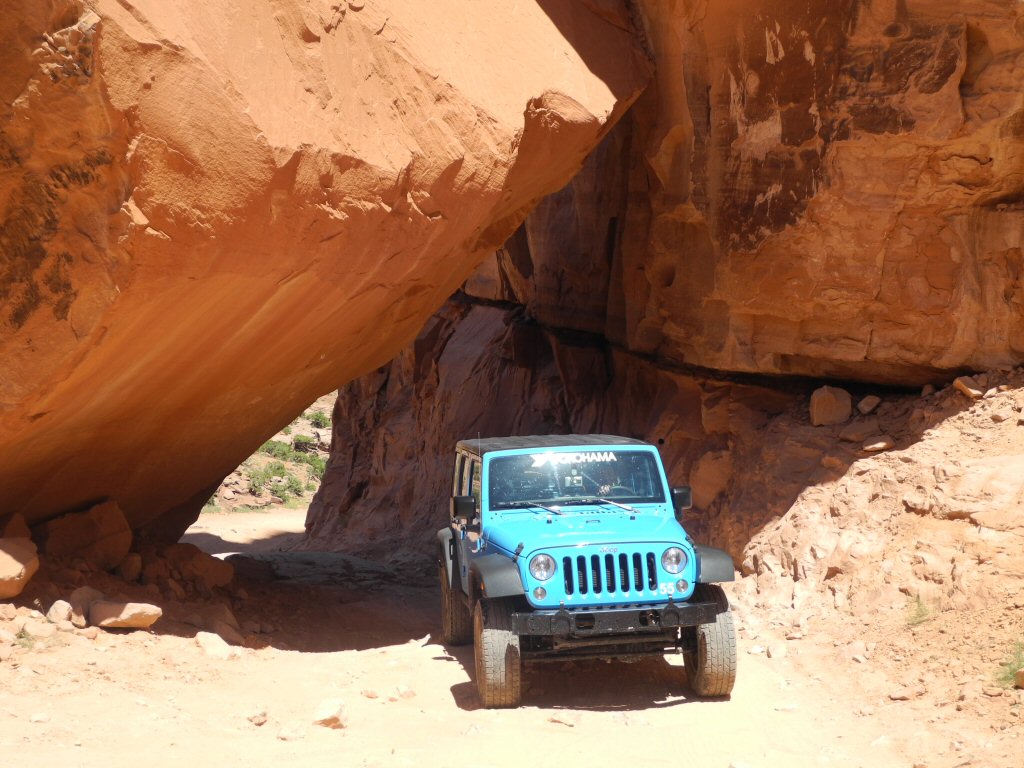
|
This shows the passage through the rocks with the jeep parked in between. After this they called it a day, returned to Moab to wash the jeep and turn it back in. It was a fun adventure!
*-*-*
Thursday July 18 Canyonlands National Park:
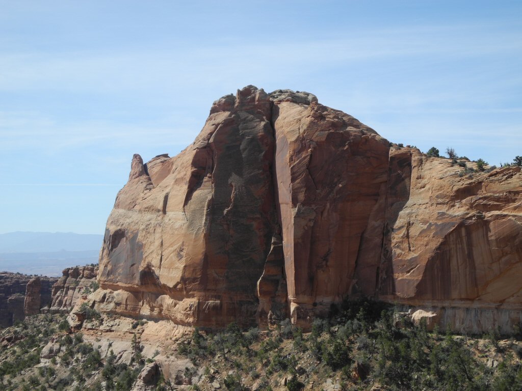
This is the last day of activities and Barry and Kevin go explore Canyonlands National Park. Canyonlands encompasses 337,598 acres of canyons, mesas, buttes, fins, arches and spires in Utah's high desert. It is a very colorful and scenic area divided into 4 districts: Island in the Sky, the Maze, the Needles and Horseshoe Canyon. They spent all of their time in the Island in the Sky District.
|
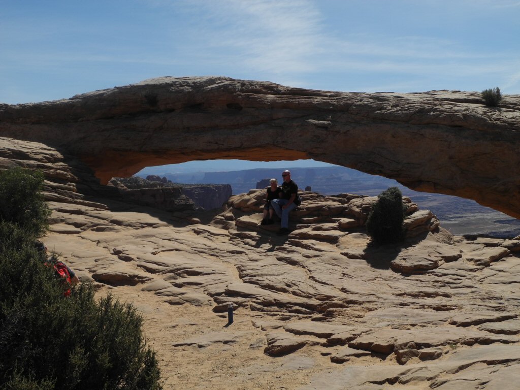
Here is the iconic Mesa Arch, one of the first you encounter as you enter the Island in the Sky district. Unfortunately some people like to park themselves in front of it for some extensive photo shoots, leaving everone else to have strangers in their pictures.
*-*-*
|
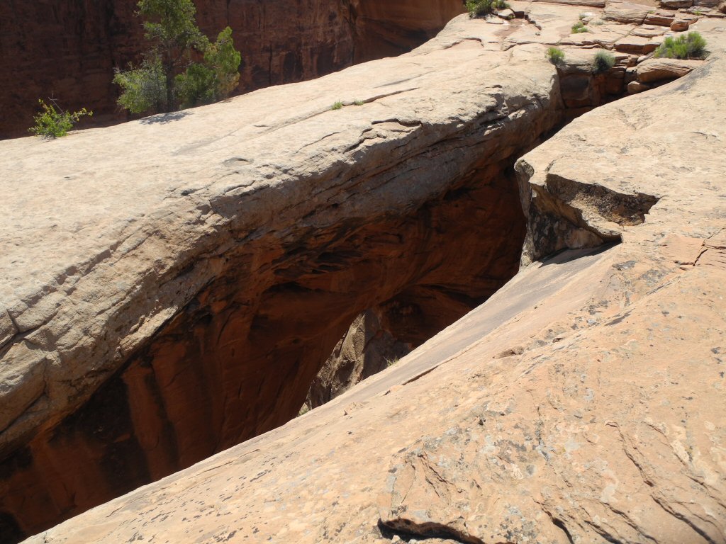
This is an interesting view of the wall of rock that supports the Mesa Arch.
*-*-*
|
Canyonlands National Park.
*-*-*
|
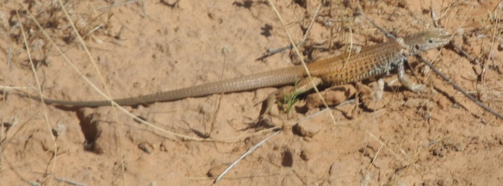
Here is a lizard Barry saw scampering in the brush.
*-*-*
|
This formation is called Whale Rock because of its similarity to a large whale.
*-*-*
|
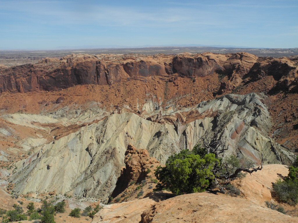
Crater Overlook on the Syncline Trail, Canyonlands National Park.
*-*-*
|
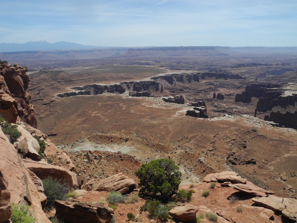
Canyon Overlook in Canyonlands National Park.
*-*-*
|
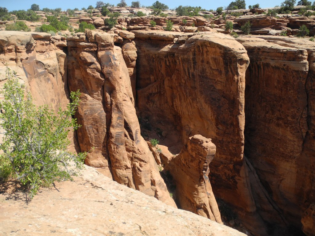
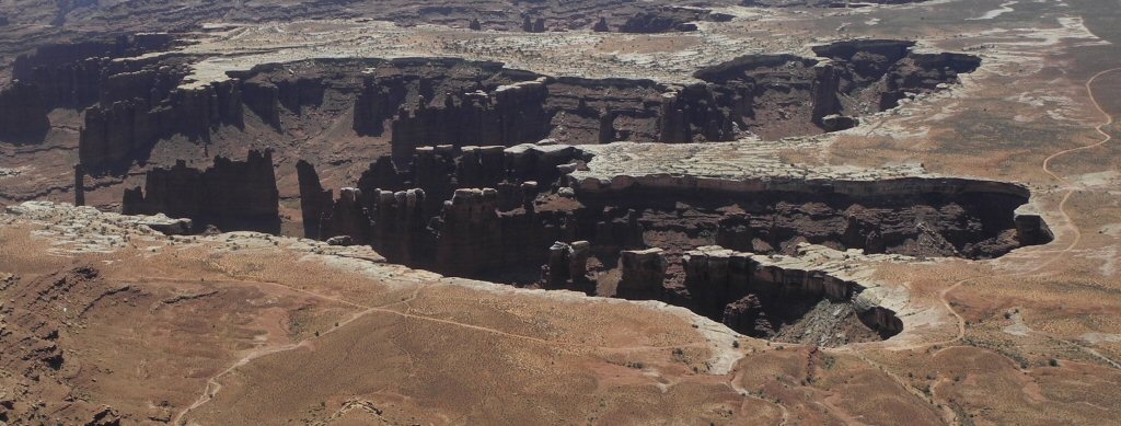
A closer view of the walls of the canyon showing the beautiful formations created by the erosion of the softer rock.
*-*-*
|
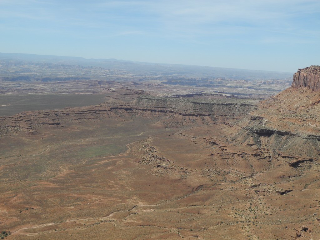
Another canyon view, Canyonlands National Park
*-*-*
On Friday, Barry and Kevin strated their return trip, flying first to Denver and then on to their respective homes.